



Mountains, canyons, plains — these geological features are not only present on land, but also under the sea, where scientists have now charted them in incredible detail in the ocean surrounding Antarctica. The five-year project mapped 18.5 million square miles, and even revealed a new deepest point in the Southern Ocean, a depression lying 7,432 meters (24,383 feet) below sea level called the Factorian Deep. This study and others like it around the world are filling major scientific gaps in our understanding of what the ocean floor looks like, a key part of knowing how to foster ocean health. More mapping also enables us to make an even stronger science-backed case for marine protected areas. If you want to turn this positive progress into action, you can join us today as we call on world leaders to protect Antarctica and secure the largest act of ocean protection in history. We’re close to reaching our goal of 250,000 petition signatures!
The fish around Britain are disappearing.
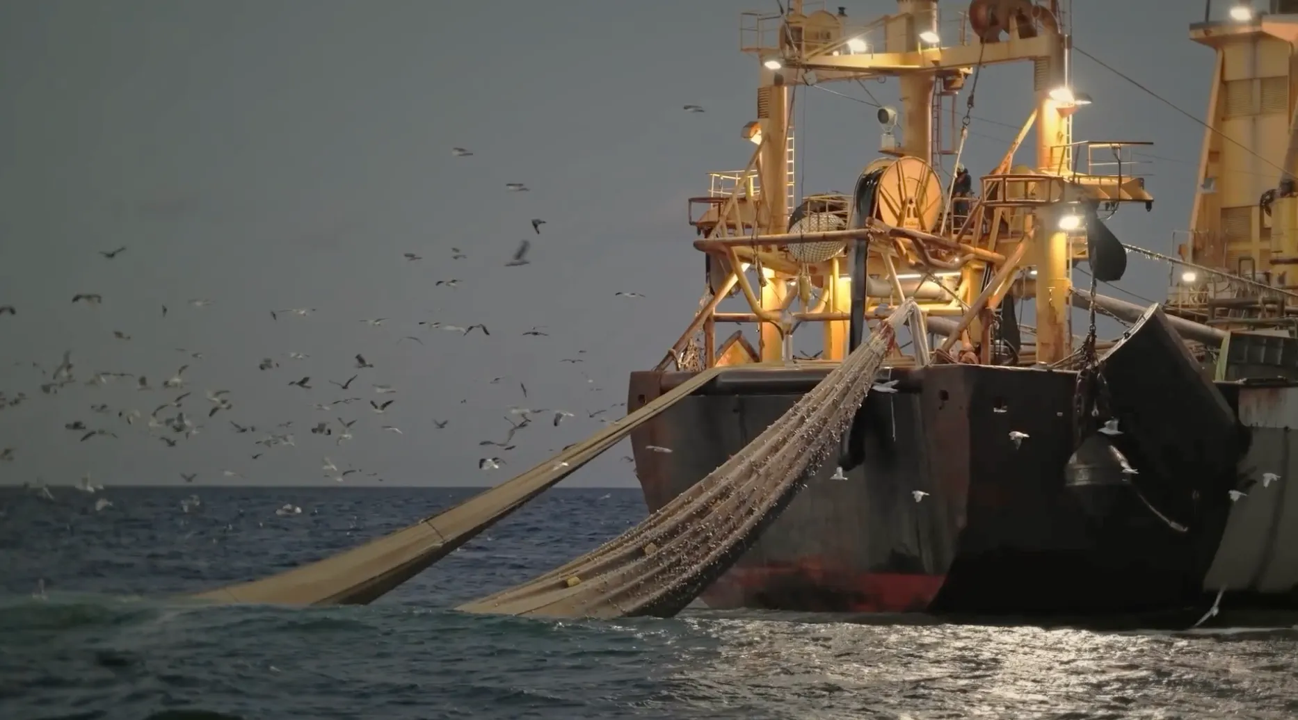
A recent report by Blue Marine Foundation found that many of the UK's key fish populations are in steep decline as a result of decades of overfishing.
For years, ministers have set catch limits above what scientists advised, allowing more fish to be caught than experts consider sustainable. This political choice has pushed many fish populations closer to collapse, damaging marine ecosystems, threatening coastal livelihoods and weakening the UK's food security.
Some of the declines are staggering. Between 2016 and 2025, Celtic Sea cod, haddock, whiting, herring and pollack declined by 98%, 79%, 73%, 45% and 31% respectively. Meanwhile, scientists now advise zero catches for three of the UK's four cod stocks.
These are not distant, abstract losses.
They affect the health of our seas, the livelihoods of fishing communities and the seafood on our plates. They are one reason why the cod in your local fish and chip shop is now likely to have been caught thousands of miles from British waters.